Choosing the Right Survey Equipment for Modern Construction Projects
Author
Gregory Haralambous
Category
Blog
Reading Time
3 Minutes
Date Published
23 October, 2026
Get In Touch
Strong survey coordination keeps projects moving.
Inaccurate site measurements create delays once layout activity begins. When your team needs to repeat checks or pause to confirm layout information, excavation and positioning tasks can quickly fall behind schedule.
Choosing the right survey equipment helps contractors maintain better layout control across active work areas.
Why Accurate Survey Data Matters in Construction
Inconsistent survey data can interrupt excavation sequences, delay handovers between teams and create additional verification requirements once activity is already underway. Layout control errors can affect later stages of work if layout issues are not identified early.
Let’s explore how these issues can affect multiple stages of construction activity:
-
Misaligned layout points: Incorrect data can affect preparation work and later project stages.
-
Delays between project phases: Missing updates can interrupt coordination between surveyors and on-site teams.
-
Repeated checks: Additional confirmation may be needed before activity can continue.
How Survey Equipment Supports Layout and Verification
Modern construction projects require layout updates to ensure clear communication between teams. Trimble Siteworks site positioning software helps contractors coordinate survey information and maintain better visibility across active operations.
1. Reducing Rework and Material Waste
Clear layout data helps contractors manage excavation tasks while maintaining better control over material use. Advanced survey tools enable crews to complete project verification and progress.
2. Improving Coordination Between Site Teams
Surveyors, supervisors and machine operators all rely on shared project updates. Connected workflows keep teams informed through verified records, reducing delays.
3. Supporting Connected Construction Workflows
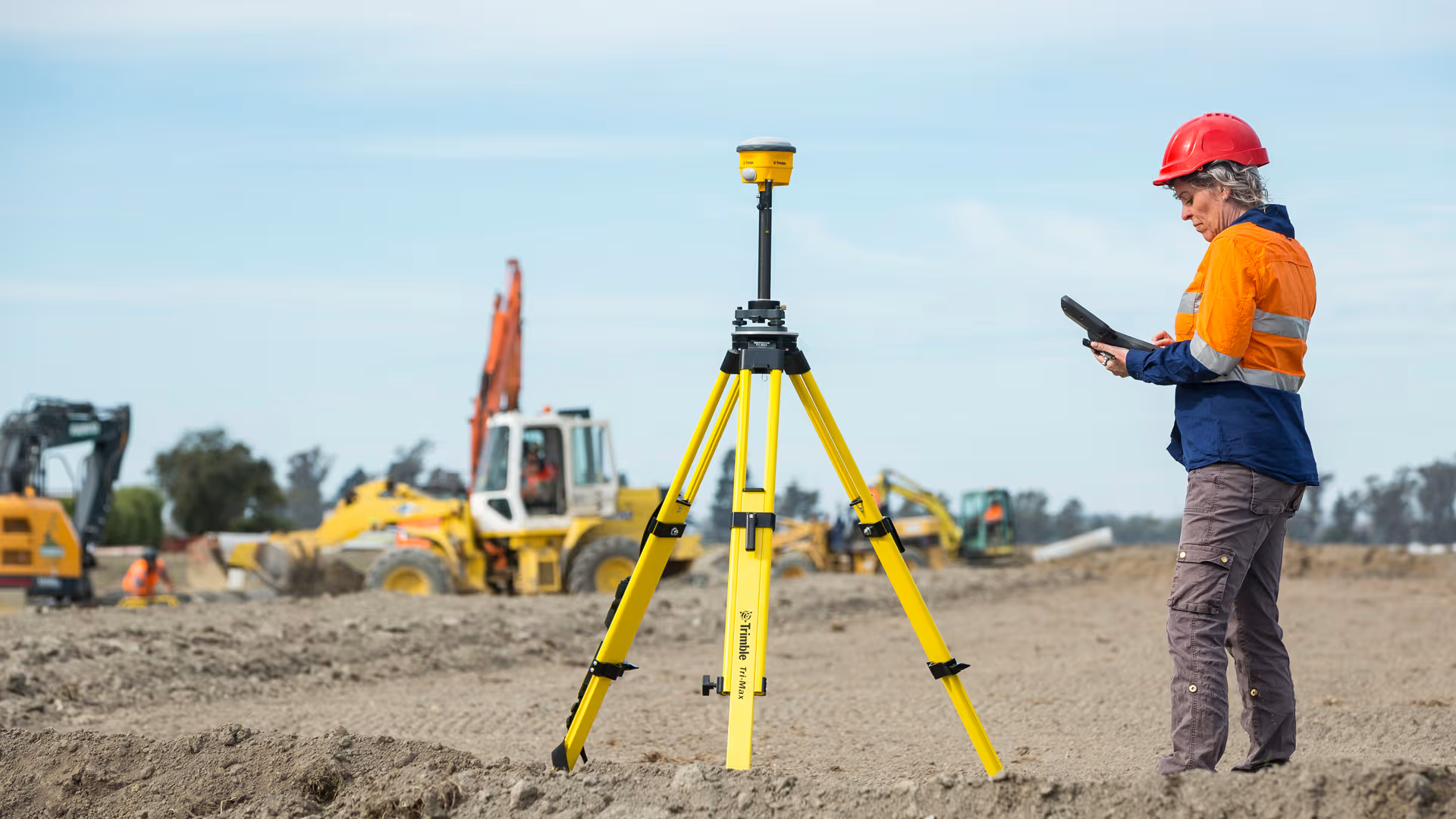
Survey technologies such as total stations, GNSS receivers and field software help contractors maintain more reliable positioning information between field and office teams during construction.
Survey Technologies for Layout and Verification
Roadworks, infrastructure activity and earthworks operations require different levels of layout planning and coverage. Connected survey technology helps contractors maintain better coordination across these environments.
Total Stations for Precise Site Layout
Detailed layout and stakeout tasks across active areas often use Trimble total stations. Contractors apply them to structural continuity and other precision-based survey tasks where consistency is essential.
GNSS Receivers and Field Controllers for Civil Construction
Larger areas often require broader coverage to maintain continuity across active operations. Global Navigation Satellite System (GNSS) receivers and connected controllers give contractors faster access to layout records and data.
The comparison below outlines common technology applications:
| Equipment Type | Best Use Case | Main Advantage |
|---|---|---|
| Total Stations | Detailed site layout | High positioning accuracy |
| GNSS Receivers | Large construction areas | Broader project coverage |
| Field Controllers | Coordinating survey updates | Improved workflow coordination |

Maintaining Reliable Survey Performance
Calibration checks and clear procedures keep layout and survey information linked. Dust and uneven terrain can affect equipment performance when teams overlook routine inspections and maintenance. Minor inconsistencies can become costly once crews install utilities, making regular verification an important part of day-to-day operations.
Selecting Survey Equipment for Construction Workflows
Choosing the right equipment depends on how layout and verification tasks are managed. Contractors need systems that match the scale of the work and integrate effectively with existing construction workflows.
A few practical considerations support crew operational requirements more effectively:
-
Required positioning accuracy: Structural activity may require more precise information than bulk earthworks.
-
Terrain conditions: Larger projects may require broader coverage across uneven terrain.
-
Workflow integration requirements: Connected environments may require faster field-to-office data transfer.
Compare Survey Equipment Solutions With SITECH SA
SITECH SA helps your team maintain more reliable survey coordination across active work areas, reducing time spent resolving layout issues later in the construction process.
Explore our survey technology solutions to help your team work more efficiently across layout, positioning and verification activity.
Need to get in touch with us?
Complete the form and a member of our team will be in touch.
Alternatively, you can contact any of our regional offices directly using the details below.
Request a Quotation
Please complete the form and a SITECH SA representative will contact you to assist.