

Infrastructure Development Technology Solutions
Deliver accurate, repeatable results with advanced surveying, positioning and field technology.
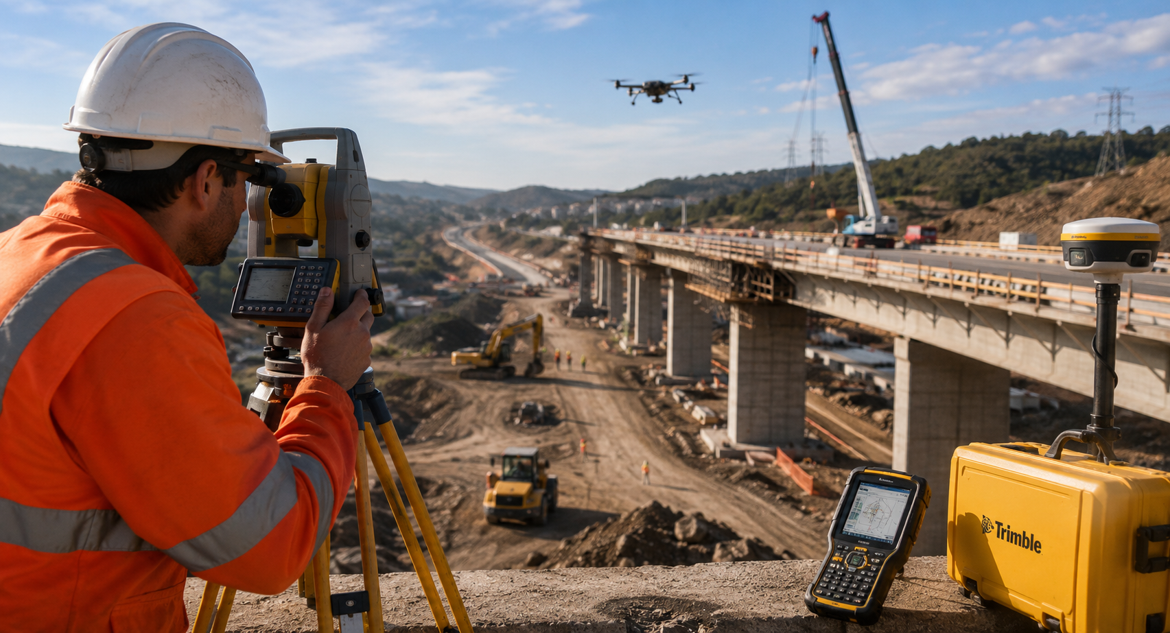
Precision Technology for Infrastructure Projects
Infrastructure projects require accurate surveying, reliable layout and consistent quality control from design through to delivery. Whether the project involves bridges, tunnels, utilities, road networks or building foundations, small measurement errors can create costly delays and rework.
SITECH SA helps infrastructure teams improve accuracy and productivity with integrated GNSS positioning, robotic total stations, construction lasers, field controllers and Trimble field software.
What Is Infrastructure Development Technology?
Infrastructure development technology refers to the positioning, survey, layout and construction tools used to build critical infrastructure accurately. These technologies help teams transfer digital designs into the field, verify construction progress and maintain quality across complex project environments.
Common Infrastructure Project Challenges
| Challenge | How SITECH SA Helps |
|---|---|
| Complex layout requirements | GNSS receivers and robotic total stations support accurate stakeout and measurement. |
| Rework caused by survey errors | Digital positioning tools help improve accuracy and verification. |
| Slow field data collection | Field controllers and software help teams collect and share data faster. |
| Poor alignment between design and site | Connected workflows help keep field teams working from current project data. |
| Quality control pressure | Total stations, lasers and GNSS tools support repeatable checks and documentation. |
Key SITECH SA Solutions for Infrastructure Development
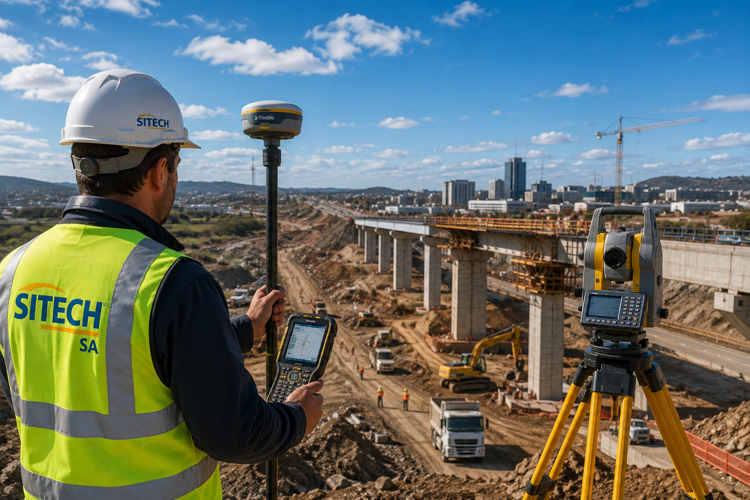
GNSS Receivers
GNSS receivers help survey and construction teams capture accurate positioning data for layout, mapping, stakeout and verification.
Robotic Total Stations
Robotic total stations support precise construction layout, stakeout, topographic surveys and quality control. They can improve productivity by allowing more efficient field measurement workflows.
Spectra Precision Lasers
Spectra Precision lasers and construction tools support reliable elevation, alignment and level control across infrastructure sites. SITECH SA positions Spectra Precision as a complete solution covering GNSS, GPS, total stations and construction tools.
Field Controllers and Siteworks
Field controllers and Trimble Siteworks help crews collect data, visualise designs, set out points and communicate information between the field and office.
Construction Software and Data Workflows
Connected software helps infrastructure teams manage design data, progress information and site updates across the project lifecycle.
Benefits for Infrastructure Teams
- More accurate layout and stakeout
- Faster field data collection
- Reduced risk of costly rework
- Better communication between survey, site and office teams
- Improved quality control and verification
- Reliable positioning for complex project environments
- Greater confidence from design through to construction
Recommended Solutions Table
| Solution | Best Used For | Main Benefit |
|---|---|---|
| GNSS Receivers | Survey, stakeout and positioning | Accurate field positioning |
| Robotic Total Stations | Layout and quality control | Precise measurement and verification |
| Spectra Precision Lasers | Elevation and alignment | Reliable level and grade control |
| Field Controllers | Data collection and site workflows | Faster field communication |
| Trimble Siteworks | Field-to-office workflows | Better design visibility and progress tracking |
Why Choose SITECH SA for Infrastructure Technology?
SITECH SA supports infrastructure teams with technology that improves accuracy, productivity and repeatability across the full project lifecycle. From initial survey and layout to quality control and final verification, SITECH SA helps teams build with confidence.
Infrastructure teams can also access training, service centre support and technical support to help keep technology working reliably on site.
Build Critical Infrastructure With Greater Accuracy
Whether you are working on roads, bridges, utilities, foundations or large-scale infrastructure projects, SITECH SA can help your team select the right survey, positioning and construction technology.
FAQs
What technology is used in infrastructure development?
Infrastructure development technology can include GNSS receivers, robotic total stations, construction lasers, field controllers, machine control systems and field software.
Why is accurate surveying important for infrastructure projects?
Accurate surveying helps ensure that roads, bridges, utilities and foundations are built to specification, reducing the risk of errors, delays and rework.
What is a robotic total station used for?
A robotic total station is used for precise measurement, layout, stakeout, topographic surveys and quality control on construction and infrastructure sites.
Can SITECH SA help with construction layout?
Yes. SITECH SA provides positioning, layout and field technology solutions that support accurate construction workflows.
What SITECH SA solutions are useful for infrastructure projects?
Useful solutions include GNSS receivers, robotic total stations, Spectra Precision lasers, field controllers, Trimble Siteworks and connected construction software.
